
Location
Agent Comments
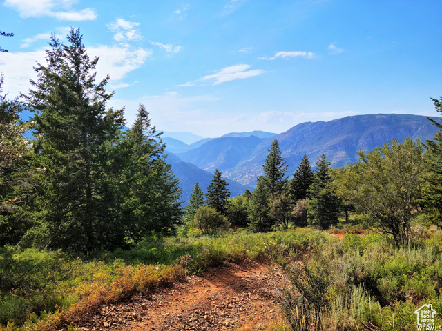
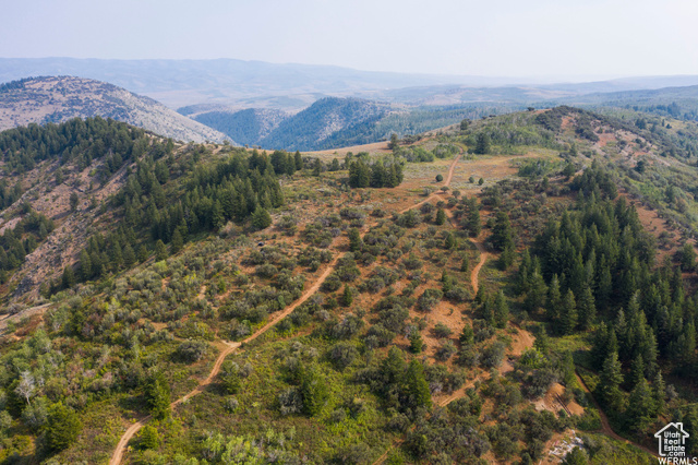
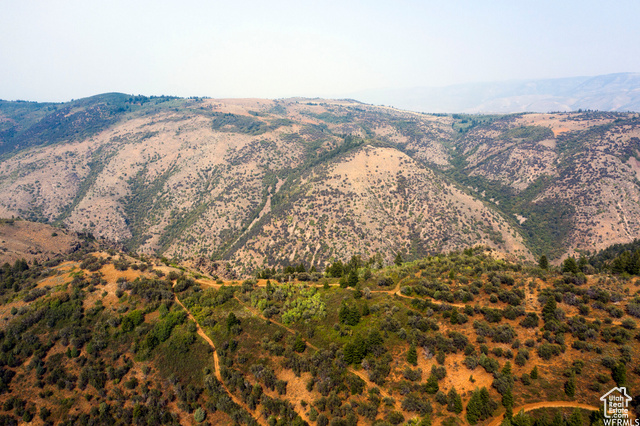
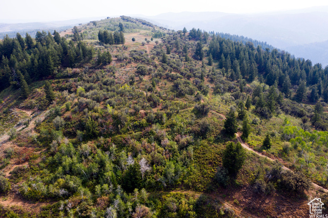
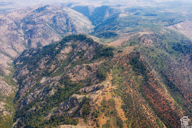
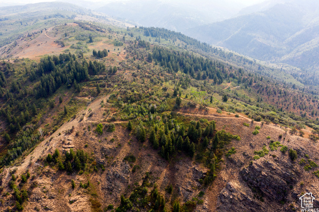
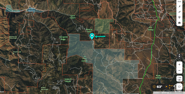
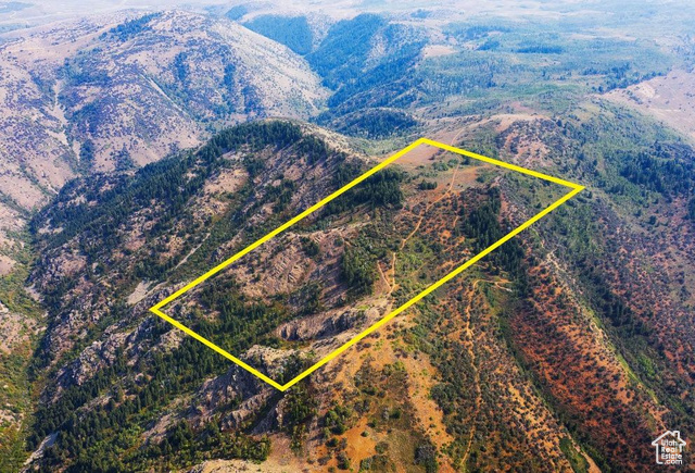
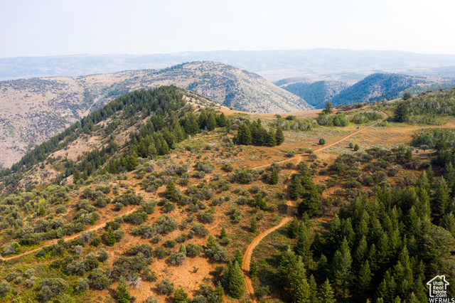
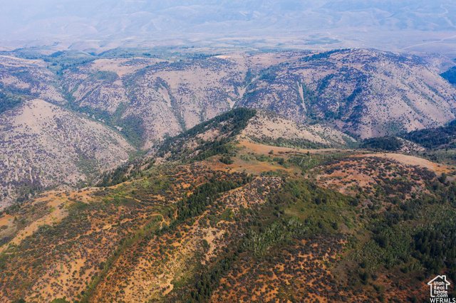
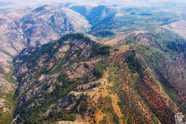
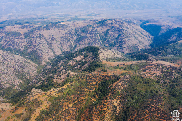
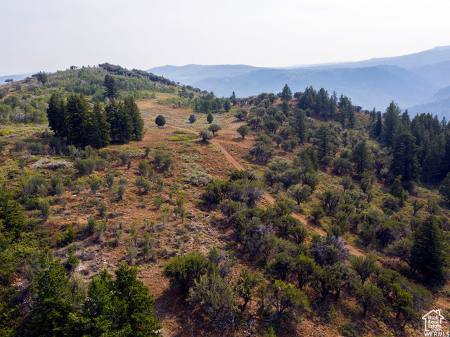
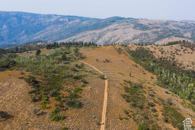
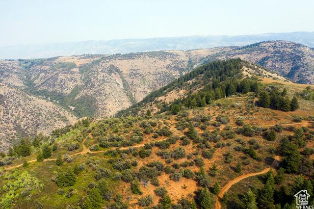
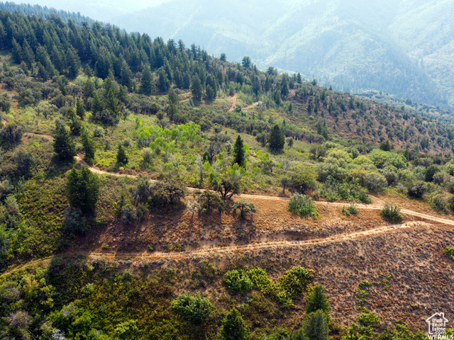
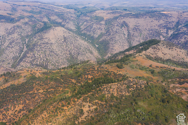
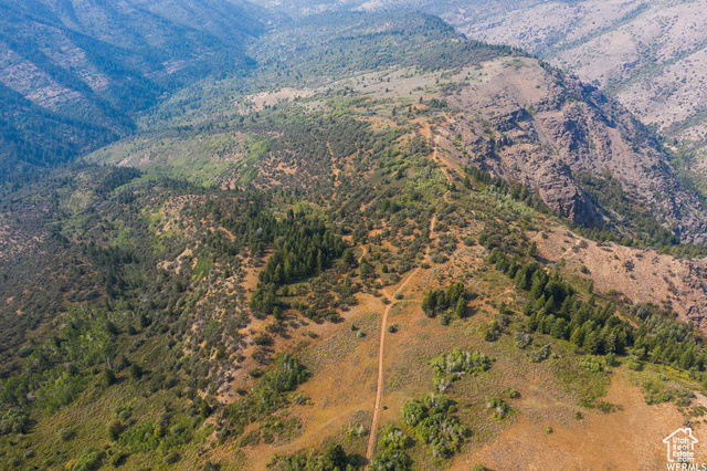
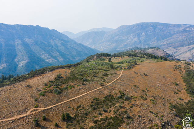
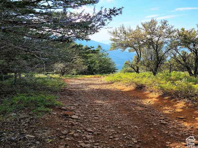
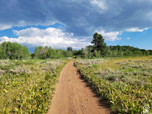
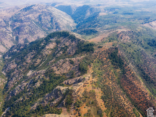
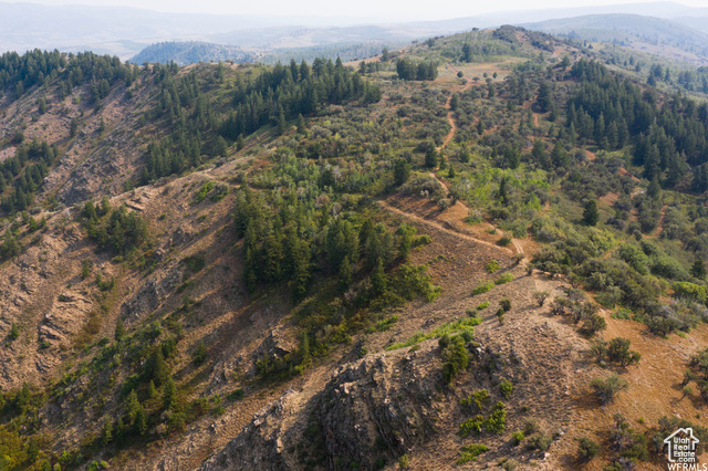
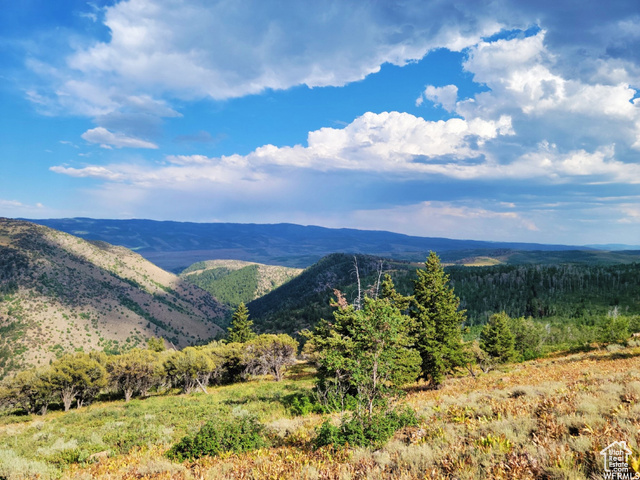
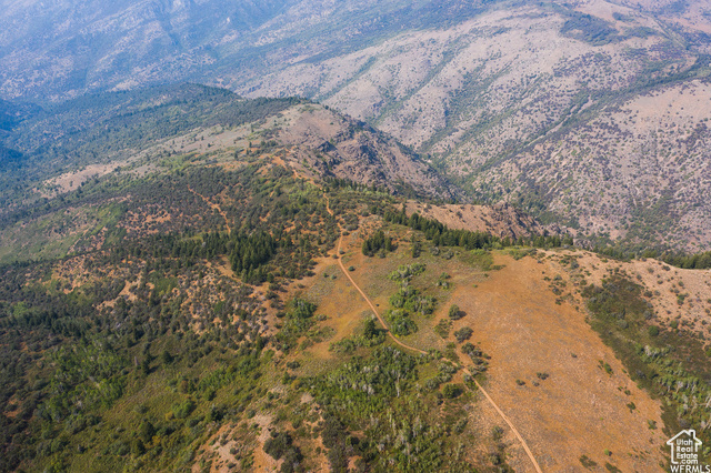
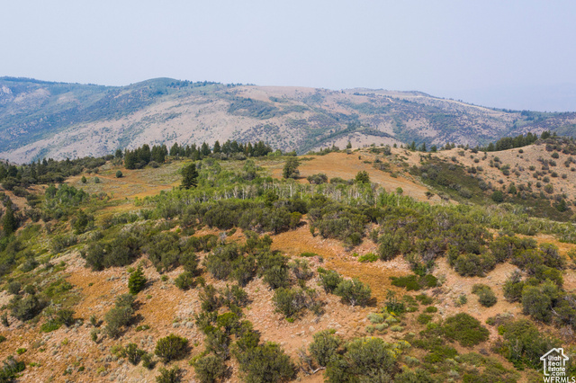
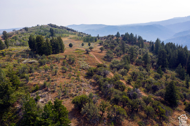
Secluded private majestic retreat. Big mountain vistas and wide-open spaces can be yours! This 80-acre parcel, situated about 12 miles west of Ant Flat Road and east of Porcupine Reservoir, an area known as" Mineral Point," offers countless possibilities: a Family compound, including a camping and hunting ground, a snowmobile paradise, build a cabin or two, or three, or a recreational subdivision development project. Abundant wildlife, trees, and views for days! Bordering the Cinnamon Creek WMA and other private lands, it's hunting at its best. It is accessible via a mountain dirt road, and an ATV or UTV is best for exploring this property. The access road is gated. GPS coordinates are 41.48985, -111.65937. The buyer will verify all property information, boundaries, and documents. *Mineral rights are excluded*. Copy and paste the Hunt X link below to see the precise location. https://webmap.onxmaps.com/hunt/share/content?share_id=01K1NYX2KQGZ9KKH98RJF7RSFE
Additional Features
- County: Cache
- Property Type: Recreational
- Tax Number: 16-083-0001